Export to GOOGLE EARTH (report)
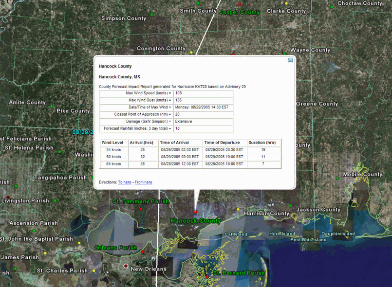
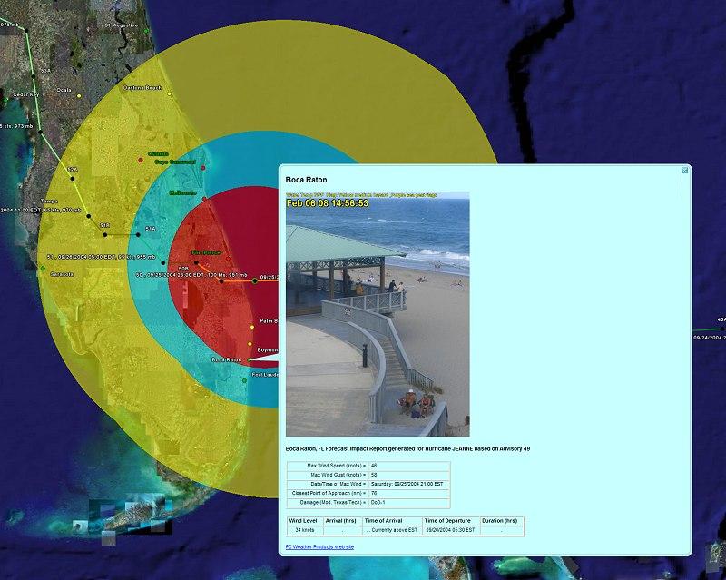
This option allows the user to export the location, county or zip code summary reports as well as wind probability and surge reports to Google Earth. When selected Google Earth will automatically start and display the report data on it's interface. Google Earth is required on the user's workstation for this function to work.

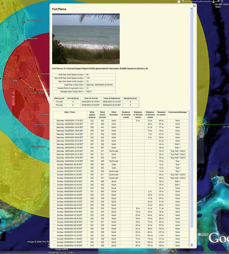
If the user has chosen to allow a web cam or static image to be included with this export, that image will be included when selecting a report location. This is controlled via the General - Google Earth user options. For more information on how web cams and images are and can be utilized within the system, check out Webcam / Location Images.

In addition, the user can export the report to Google Earth with the detailed hourly forecast data included. This is a menu option while viewing the report.
