
Cross Wind Calculation setup and use
Once the user defines the cross wind direction for any location, typically airport runways, the system is then able to include this information on the location wind impact report. In addition with the ability to estimate wind speeds below 34 knots (from 25 knots - 34 knots) this is a valuable tool for aviation/airport facility users.
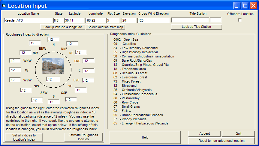
To define the cross wind direction, the user must select the location via the System Setup - Location Maintenance (Advanced Data Entry) option and then input the azimuth value (0-360) that represents the cross wind direction. For example a runway running due north and south, would have a cross wind value of either 090 (due east) or 270 (due west). Either direction can be used, the only difference will be the sign.. i.e. If 090 is selected then a -35 knot value would represent a westerly component of 35 knots while a +35 knot value would represent an easterly component of 35 knots.
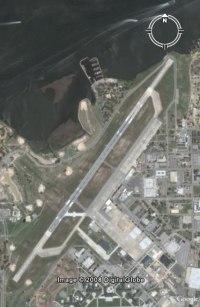
The following Keesler AFB example shows how you would define the cross wind for a runway that runs 030 - 210. The value for the cross wind direction is defined as 120.


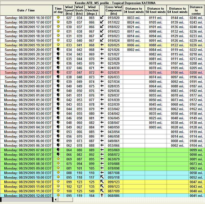
When a wind impact report is run for this location, it includes the component of cross winds as well as the absolute estimate of wind speed. The report below shows the estimated winds for Keesler AFB (runway 030) during Katrina. Advanced Wind Estimation was not used for this report. The column for Cross Wind Component shows the sustained and wind gusts cross winds. Note, the first yellow row indicates when the cross runway wind gusts are expected to exceed 25 knots while the red colored row indicates when the sustained cross runway component of wind is greater than 25 knots.
